Highwater Wharves in the Age of Sail

The T-shaped KIng's/Queen's Wharf was central to shipping to and from Annapolis County before private wharves were built.
By the mid – 1860’s there were at least 16 privately owned, high water wharves serving the twin ports of Granville Ferry and Annapolis Royal. The constant activity of trading and fishing vessels, arrival and departure of steamers at the Queen’s wharf, and the weekend influx of ox teams loaded down with timber products from the outlying districts made for a bustling waterfront scene. (1)

Dominion Wharf in the centre of Annapolis Royal. Note the train tracks running onto the wharf for ease of passenger and cargo transfer to waiting ships, and the pick-up trucks of the age, the horse and wagon.
1869: the completion of the Windsor & Annapolis railway and the construction of the railway wharf brought sweeping changes to the port of Annapolis. The railway wharf jutted out over 350 feet into the river with the outer T providing a landing stage at any tide level. Three lines of spur tracks with a crossover ran the full length of the wharf, thus ensuring the prompt transfer of passengers, mail, and freight from vessel to rail. Annapolis became the gateway to the entire valley. (1)
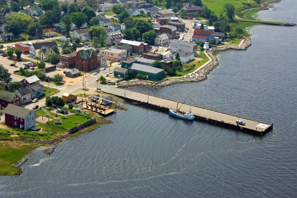
This single remaining working wharf remains an important feature of Lower St. George Street in Annapolis Royal.
High tide at the wharf.
High water wharves were essential to the economy of Annapolis County. With a variable tidal range between low and high tide of about 25-28 feet ( 7.6-8.5 metres), the Annapolis River was a natural resource connecting the County to the world. High water wharves enabled a commercial connection to markets everywhere.
A self-organized MAPANNAPOLIS group located the remains of a large number of local wharves, and created a map. It is a glimpse into the importance of the River and the Town at a prosperous point in it's history.
(1) Age of Sail in Annapolis County 1760 – 1925, Peggy Armstrong & Marguerite Wagner