Head of the tide, at low tide

Bridgetown, upriver from Annapolis Royal. Today, it takes just 20 minutes by road to travel between the two towns.
The "head of the tide" defines the practical limit of navigation. Here there had been a ferry service to cross from one side to the other until, in 1807, a bridge was built. The community eventually came to be called Bridgetown, earlier it had been Gaudetville, reflecting the area's original French settlers.
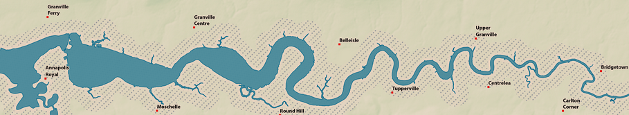
The tidal Annapolis River was navigable to Bridgetown by commercial vessels until more recent times.
Early Annapolis County travel at first depended upon waterways. Arriving by ship via the Bay of Fundy and the Annapolis Basin, the Annapolis River was the European’s first highway, and not without complications because of the tides.
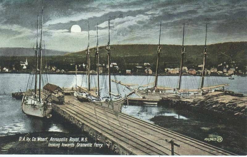
View from the Dominion Wharf in the heart of downtown Annapolis Royal of Granville Ferry, the North Mountain, and the full moon.
With a tidal range of up to ~25 feet / 7.6 metres, the river between Annapolis Royal and Bridgetown allowed ships to load substantial cargoes of timber and farm products from deep in the Valley rather than rely on a limited road network. Saint John, New Brunswick, across the Bay of Fundy, was a ready market for more perishable things while Boston and New York had huge appetites for building materials.

An early map of Port-Royal showing the Fort, ship anchorage, and a growing community complete with farms.
The period postcards above are part of a larger Mapannapolis storymap collection, organized by an all-volunteer group, and may be seen here.